Lake Tahoe Weather Update 1-2-09
Well we have been super busy with all of our guests enjoying Lake Tahoe the past couple of weeks along with hangin with our families and friends. It has been a record setting holiday period for South Lake Tahoe with huge crowds of revelers, skiers, snow boarders and just general fun lovers. It seems that the national recession has actually helped the Lake Tahoe economy with our guests deciding on shorter, more affordable winter vacations.
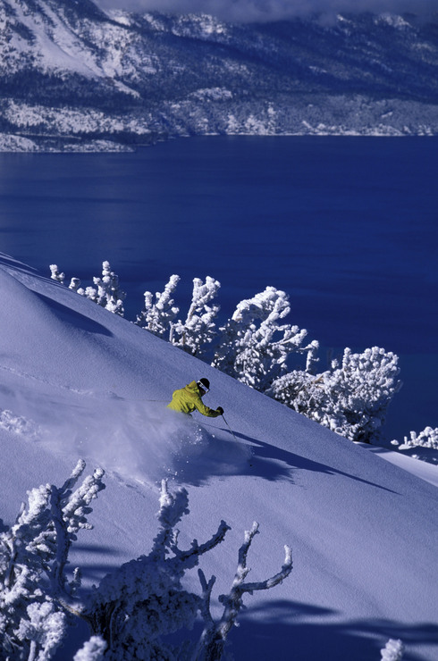
The Christmas day storm produced between 2 and 4 feet of fresh snow in the Lake Tahoe Basin and set the Ski and Board resorts up just at the absolute right time! Temperatures prior to Christmas were also very cold which allowed snow-making to happen 24 hours a day. Between the natural snow and the man-made everyone is very happy!
The outlook, however, is sketchy for further significant storms as a high pressure ridging pattern seems to be setting up which could keep the west coast and Lake Tahoe resorts high and dry for the next 10-14 days. Long range models suggest a change may occur at the end of the 15 day model period but that is a long way off and these winter high pressure ridges sometimes last longer than what the models may show. In my 28 years as a Lake Tahoe local however a dry January almost always translates into a wet February so things will probably work out for the best and allow late winter and spring skiing and riding to be fantastic.
If any of you Lake Tahoe locals have Tahoe video, Tahoe photos or even better a Lake Tahoe weather station you would like to share on this blog please let me know and I will load them to our site!


Leave a Reply