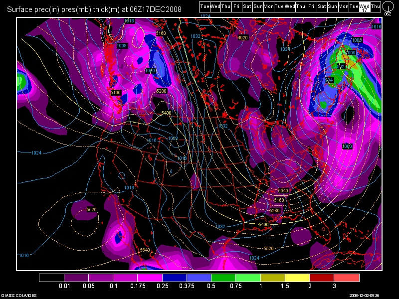
The models have changed again and not in our favor if you want snow in the Lake Tahoe basin. It now appears that a massive high pressure ridge will be in place for at least the next week with no significant storms in sight. I have decided to write this entry with a total lack of optimism in the hopes that will change things back to a wet pattern! Ok, Ok I am superstitious but of that is what it takes to get some snow into the Lake Tahoe area so be it!
We should take all of this in stride however if last winter was any indication. Remember that we had no storms until the third week of December and even that was not a large storm. But, just after New Years we got whalloped with 6-9 feet of snow. That set us up for the rest of the winter which was stormy through February and then the storm door shut down again for March.
Many winters in the Sierra don’t really start until January so it is not too late to have a banner ski and snowboarding year.
Dana
Screenshot of December 17 GFS Model


Leave a Reply