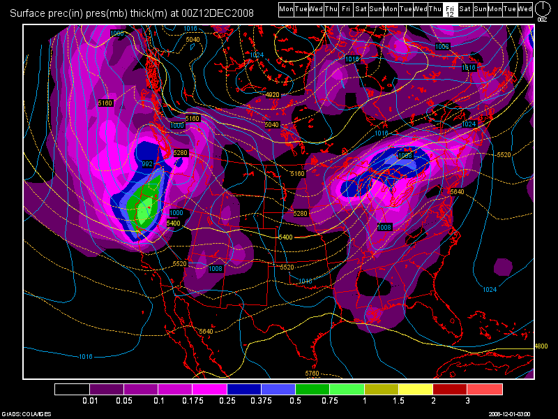
Even though it appears to be a relatively tranquil week ahead
changes may be brewing….finally. Long range models for Lake Tahoe
show a strong Pacific jet possibly taking aim at the Lake Tahoe Basin
beginning early next week. This is still a long way off but it has been
consistent now on (3) consecutive model runs. This is something we have
not seen in a long time with the models and their inconsistency this
fall. At the very least it appears that we are in for a decent
cool-down later this week along with some 30-40 knot winds late Tuesday which
should help mix down the atmosphere and with the cooler temperatures
mixing into the higher elevations snow-making at Lake Tahoe resorts
should get into gear. But…today may hold record setting warmth!
For those of you who are still on the fence and have not reserved your vacation rental cabin, condo or home
now is the time to make that call. The second those “cub” reporters
from the Bay Area or Sacramento start showing the snow at Lake Tahoe it
may too late to reserve that perfect Lake Tahoe vacation rental.
Burn those old skis and snowboards!
Dana


Leave a Reply