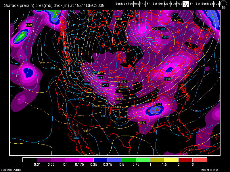
Here we go again. Just when it appeared we may be heading into a wet and snowy pattern the GFS long range models have changed dramatically and not for the better if you want snow at Lake Tahoe.
Early in the weekend it looked like we might see a pattern change and get a more zonal flow off the Pacific to bring us some significant precipitation after about December 6 but now the operational models are showing another blocking pattern with a REX block high pressure type setup which may steer all storms to the far north again. Later in the 15 day long range models there is some indication that a major buckle in the jet stream will funnel very cold arctic air into the region so we may yet squeeze some moisture out of that but right now it does not appear that any major snowstorms for Lake Tahoe are on the horizon. Stay tuned.
Dana
Here is the GFS long range snapshot for day 11:


Leave a Reply